Map Print
Glaciated + Unglaciated
Glaciated + Unglaciated
In stock
Couldn't load pickup availability
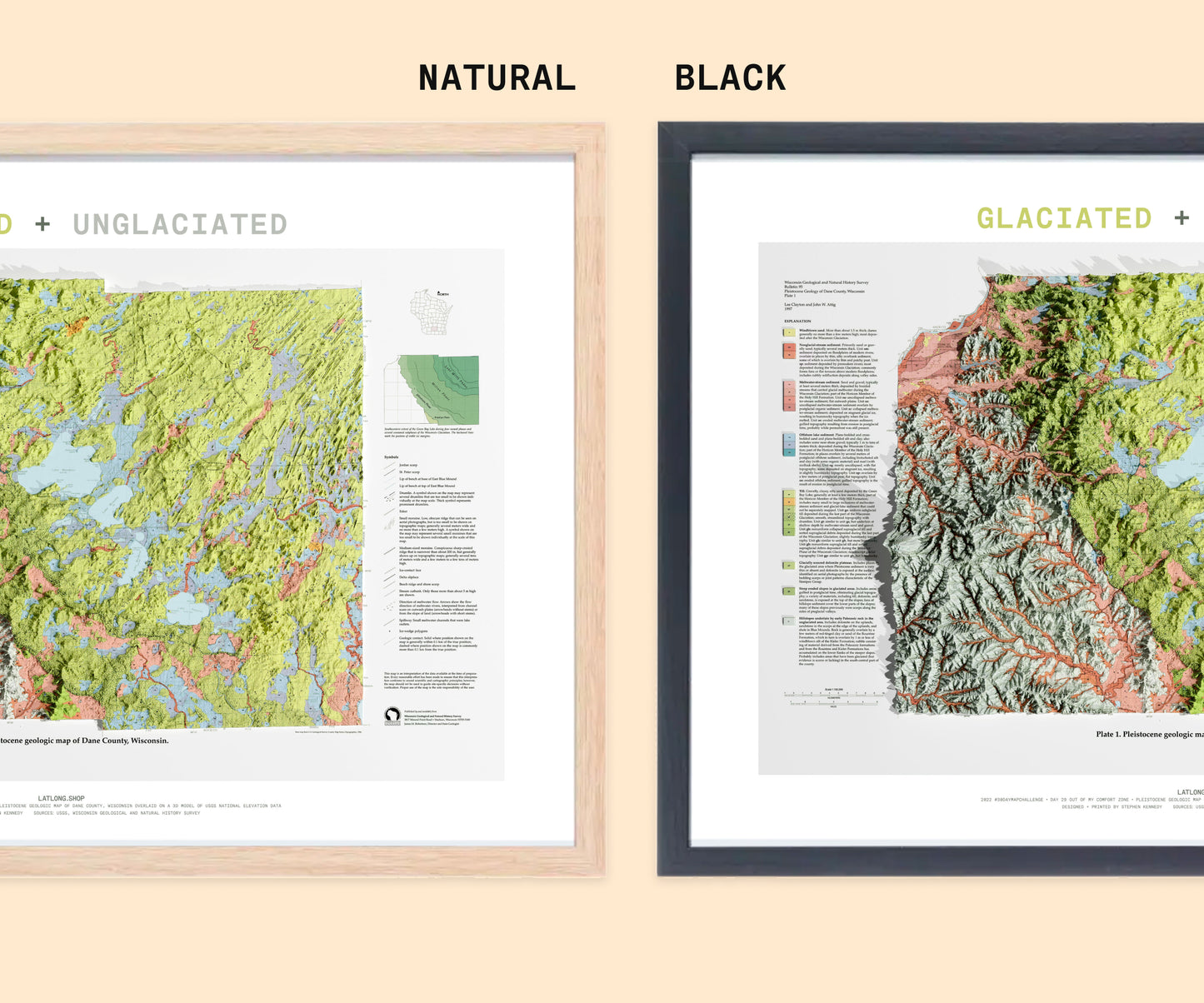
- Print size 13” × 19”
- Giclée print
- Archival paper
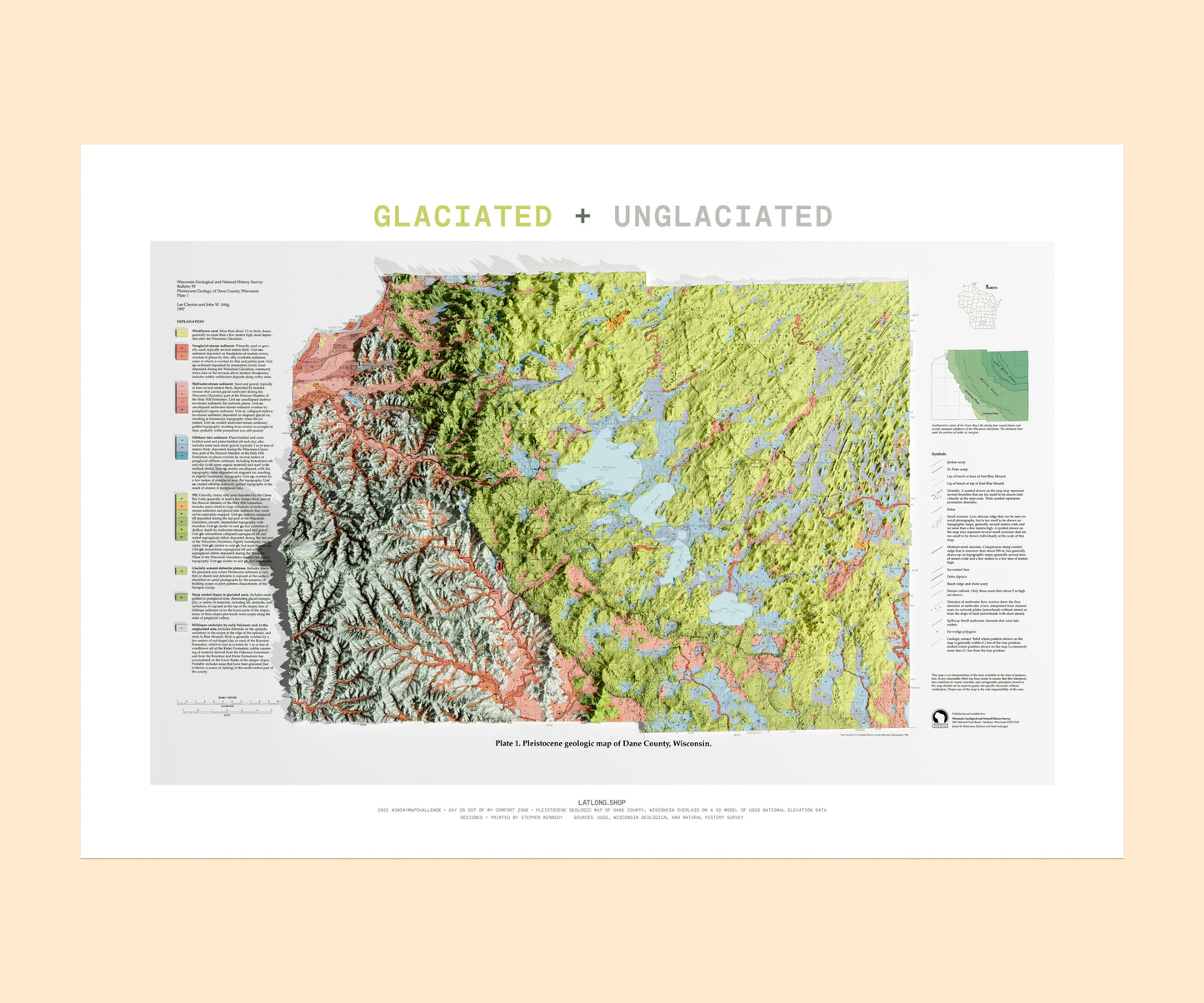
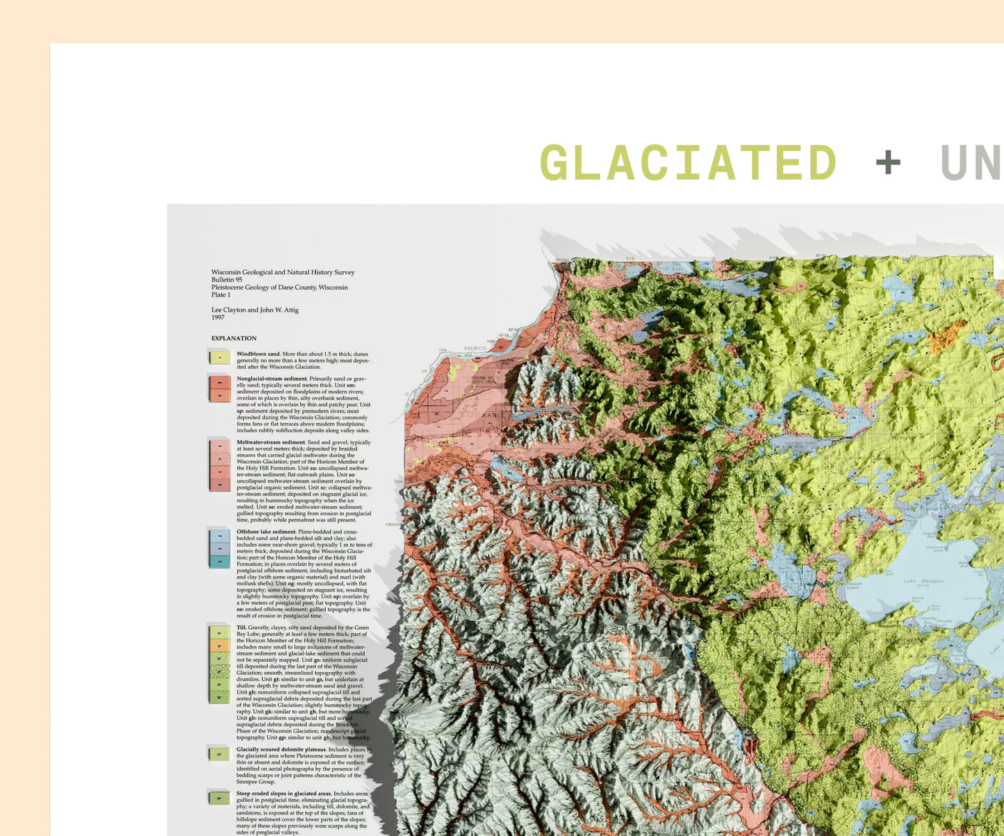
Dane County is split between two vastly different landscapes—one shaped by ancient glaciers, the other left untouched. This print highlights the geological divide between the glaciated and unglaciated regions of the county, showing how the last Ice Age carved out rolling hills in the east while leaving the rugged terrain of the Driftless Area intact in the west.
This geologic plate is overlaid onto a 3D model of terrain, offering a striking visual contrast between these two landscapes—a perfect piece for geology enthusiasts, nature lovers, and anyone fascinated by the land beneath their feet.
In this map you can see the following geologic features:
✅ Glacial drumlins (streamlined hills NE + E of town)
✅ Yahara River that connects all the lakes is a local celebrity
✅ Pink in NW is edge of Wisconsin River valley (sediments from glacial meltwater)
LATLONG.SHOP maps are printed in-house using high-quality ink on coated archival paper.
View full details