1
/
of
3
Map Print
Glaciated + Unglaciated
Regular price
£31.00
Regular price
Sale price
£31.00
Unit price
/
per
Shipping calculated at checkout.
In stock
Couldn't load pickup availability
- Print size 13” × 19”
- Giclée print
- Archival paper
Pleistocene geologic map of Dane County WI
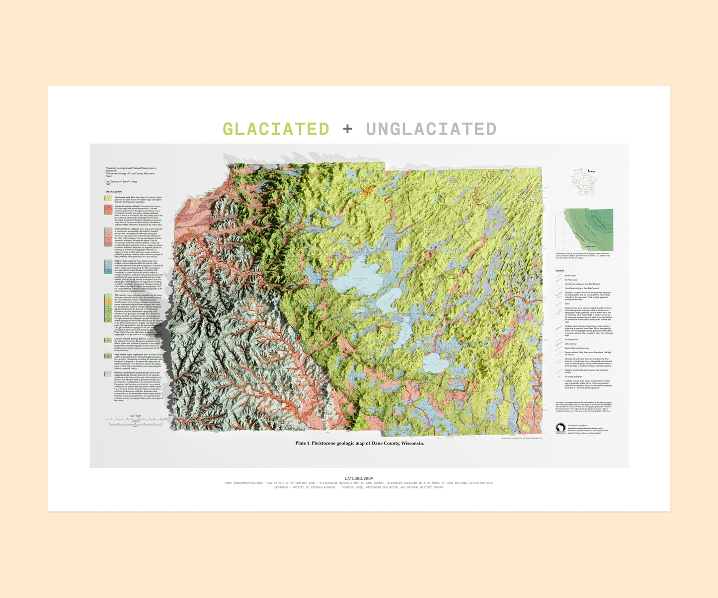
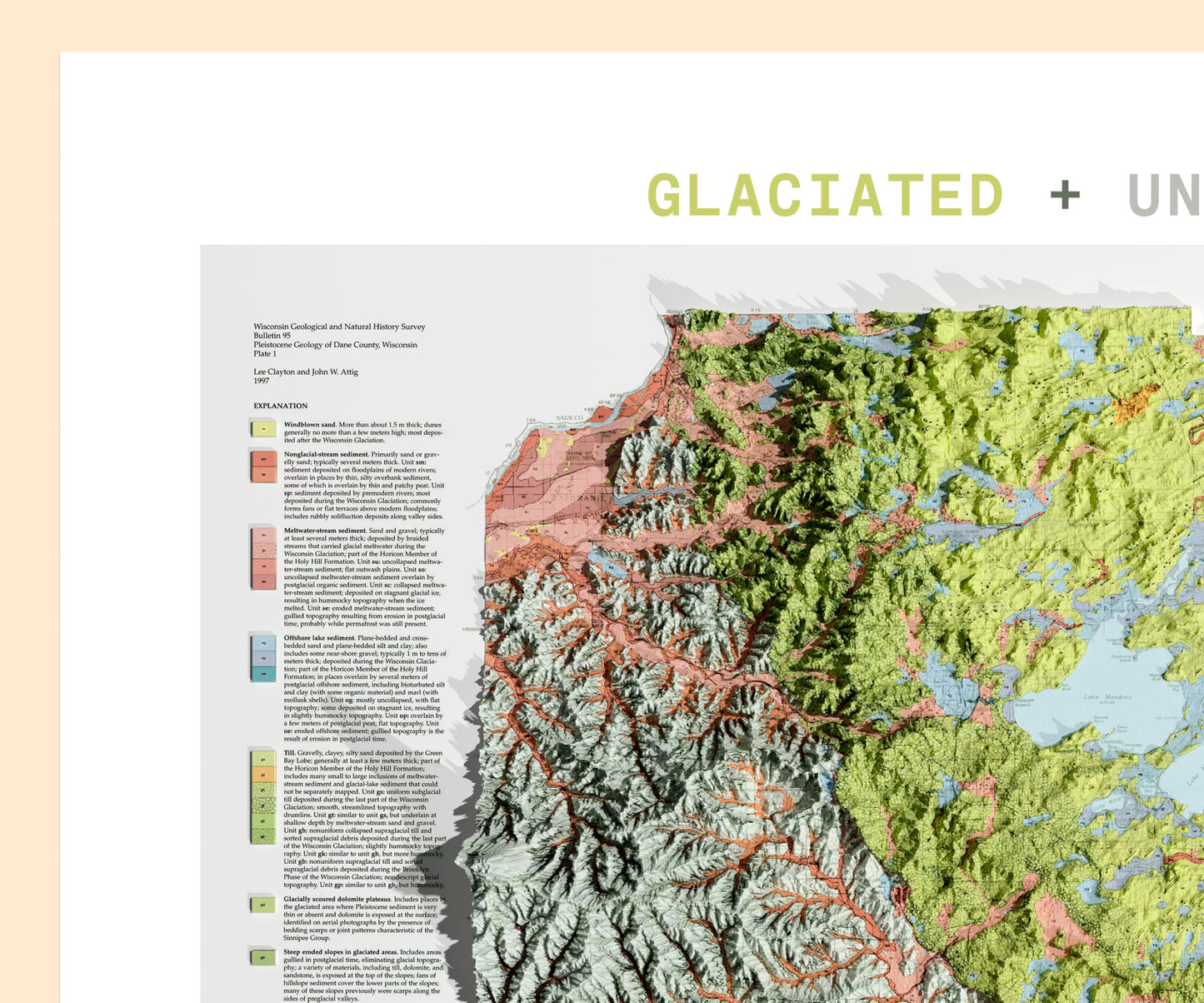
In this map you can see the following geologic features:
✅ Glacial drumlins (streamlined hills NE + E of town)
✅ Yahara River that connects all the lakes is a local celebrity
✅ Pink in NW is edge of Wisconsin River valley (sediments from glacial meltwater)
LATLONG.SHOP maps are printed in-house using high-quality ink on coated archival paper.
View full details![Glaciated + Unglaciated](http://latlong.shop/cdn/shop/files/Frame60.jpg?v=1712929149&width=1445)
![Glaciated + Unglaciated](http://latlong.shop/cdn/shop/files/Frame61.jpg?v=1712929149&width=1445)
![Glaciated + Unglaciated](http://latlong.shop/cdn/shop/files/Frame59.jpg?v=1712929149&width=1445)